Denise Shearin
Get your bearings

A closer look at the county

A useful introduction to Charles County starts with its individual communities. Waldorf and White Plains, La Plata, Indian Head, Bryans Road, and Nanjemoy each give you a different starting point for exploring the county. A home search becomes more practical when you connect those names to the places you will actually use: your workplace, grocery shopping, a favorite trail, or a regular appointment.

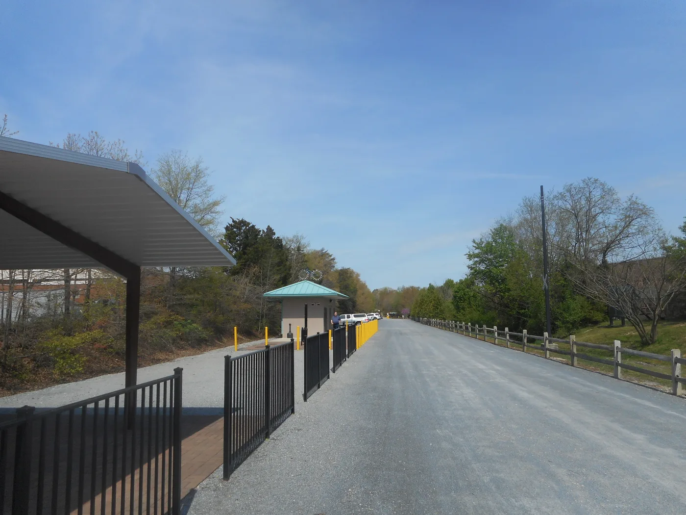
Spend some time outside the showing schedule, too. Walk part of the Indian Head Rail Trail, visit a park in La Plata, or explore the waterfront trails at Friendship Farm Park. These stops offer a concrete introduction to the area. Then compare the details of each property, including its school assignment, utility service, and surrounding land use, rather than assuming the county name tells the whole story.

Different places, different starting points

Communities to get to know

Waldorf & White Plains

Waldorf's VanGO routes connect shopping and medical stops along Route 301 with residential areas and neighboring communities. White Plains is also an access point for the Indian Head Rail Trail. When exploring homes here, pair a neighborhood visit with the errands and recreation you expect to do regularly.

Local information about Waldorf & White Plains (Opens in a new tab)

La Plata

La Plata brings county government services, Charles Regional Medical Center, shopping stops, and local recreation into your comparison. Laurel Springs Regional Park adds playing fields, a playground, and a trail to a visit. Test the route between a prospective home and the particular destinations you need, not just the town center.

Local information about La Plata (Opens in a new tab)

Indian Head & Bryans Road

Indian Head anchors one end of the county's rail trail, which extends for 13 miles. VanGO links Indian Head with Waldorf and connects with the Bryans Road route; Bryans Road service also connects with La Plata. Explore these communities separately, since a shared part of the county does not mean identical daily routes.

Local information about Indian Head & Bryans Road (Opens in a new tab)

Nanjemoy

Friendship Farm Park offers a specific reason to explore Nanjemoy: waterfront walking, nature observation, and two trail loops. VanGO also lists a La Plata–Nanjemoy connection. For a potential home here, map the complete trip to work, services, and shopping before deciding how the location fits your routine.

Local information about Nanjemoy (Opens in a new tab)
Beyond the showing schedule

Put these places on your list

Friendship Farm Park

The county describes nearly four miles across two trail loops at this Nanjemoy park, including waterfront hiking and observation decks. Check the park information before visiting and plan for a walk rather than a quick stop from the car.

Plan a visit to Friendship Farm Park (Opens in a new tab)
Travel and local services

Plan your regular routes

Start with your actual destinations and usual travel times. VanGO's published routes include Waldorf–La Plata, Indian Head, Bryans Road, and Charlotte Hall connections, but a route serving a community does not establish convenient service for every address. Check the current map, stops, operating days, and transfer requirements. For driving, try the commute at the time you would normally travel instead of relying on a single estimate outside rush hour.

Before you choose a home

  1. Confirm the school assignmentUse the Charles County Public Schools locator for the exact address and relevant school year. Confirm questions directly with the district before relying on a listing's school names. Official resource: Confirm the school assignment → (Opens in a new tab)
  2. Look beyond the lot linesCounty mapping resources include zoning and development activity. Review nearby projects and ask Planning and Growth Management to clarify anything that could affect your intended use of the property. Official resource: Look beyond the lot lines → (Opens in a new tab)
  3. Verify water and sewer serviceUse the county's water and sewer category maps as a starting point, then confirm actual service and property records. A planning category alone is not proof of an existing connection. Official resource: Verify water and sewer service → (Opens in a new tab)
  4. Check waterfront and land use detailsFor land near tidal water, review the county's Critical Area mapping and confirm restrictions with the appropriate office. Separately verify any claimed water access, shared facilities, or maintenance obligations in the property documents. Official resource: Check waterfront and land use details → (Opens in a new tab)

Guide sources reviewed November 8, 2026. Check official sites for current hours, fees, routes, and school year information. Maps are a starting point, not a boundary survey, title review, or guarantee of service. Photos are archival views; see credits for dates.

Considering a home in Charles County?

Let’s talk about the places and property details that matter to you.

Talk through your search